The field of geographic information systems (GIS) is rapidly changing through emergent technologies. The rise of artificial intelligence (AI) and other technological advancements in geospatial technology is revolutionizing the field.
Geographic information science and geospatial data is useful in almost every field. Developments in GIS mapping have improved spatial analysis, data visualization, and more. Creating GIS software that is user-friendly and accessible can be done through the following technologies:
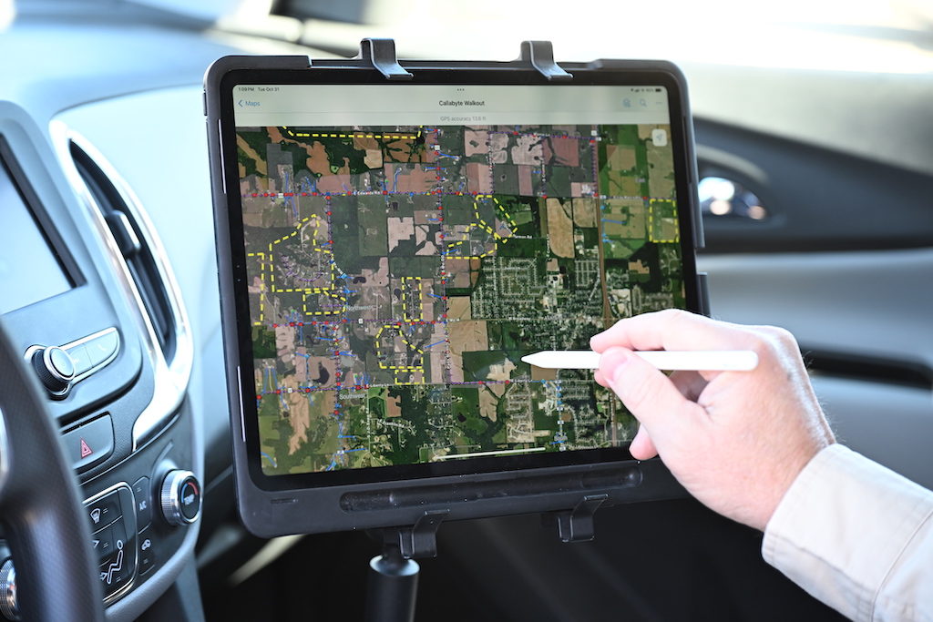
- Mobile GIS
- Machine Learning Algorithms
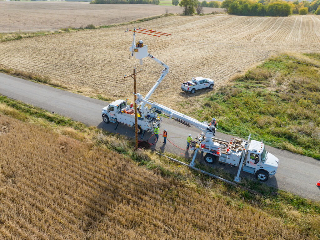
- Drone-Based GIS
- Automation
- Cloud Computing
- Real-Time Data Analysis
- Artificial Intelligence
GIS and spatial data have a huge impact in the real world. From retail markets, urban planning, human resources, environmental management, and more. GIS is a driving force of progress in modern-day infrastructure. These innovations allow GIS technology to be more accessible, allowing our industries to evolve with this powerful technology.
The Future of GIS: Emerging Trends
Here are a few major trends shaping GIS. As leading GIS professionals, we stay up-to-date on emerging technologies and trends that are shaping our field.
- Cloud-Based GIS
One of the biggest recent innovations and trends in GIS is the rise of cloud-based software. The move to these cloud-based systems has been a huge positive in the field. These systems allow organizations to easily store and access their information in one place. All data sources can be viewed, shared, and analyzed in one place, and accessed from anywhere.
The rise of cloud-based GIS solutions can be used to simplify workflows and streamline operations. Cloud-based software can help reduce operational costs and allow you to focus on essential business activities.
- No-Code Geospatial Engineering
Another huge shift in the field of GIS is the onset of zero code and low-code engineering solutions. This change to no code software makes GIS technology more accessible. Zero code solutions allow people with no coding experience to use the platform.
The no-code approach is more user-friendly. Data can be analyzed and interpreted in one place with no coding experience necessary. This approach gives more industries access to valuable GIS tools without the need for extra training.
- Data Analysis and Machine Learning
The rise of AI has brought machine learning with it. As our ability to collect better and more data continues to get better, GIS datasets are becoming more complex. Machine learning can take big data and quickly process, analyze, and sort this data.
In GIS, this allows for more efficient analysis and gives insight that was not always possible.
- 3D Modeling and Data Visualization
Visualizing spatial data is an extremely important part of GIS. 3D modeling has created more realistic views of GIS data. This creates an even better representation of the surrounding world including geography, buildings, and more.
Data visualization and 3D mapping is allowing organizations to better understand their data. This is revolutionizing the field with new possibilities for planning and design.
- Augmented Reality
Augmented reality (AR) is being integrated with GIS to create a more immersive experience for GIS data users. If you are not familiar with AR, it combines a user’s environment with digital information in real time. It creates an interactive experience in the world using computer-generated elements such as sounds and visuals.
Traditional 2D maps only go so far. AR can be used to provide more context and more information. AR can improve navigation and enhance safety.
- Location-Based Services
Location-based services is another trend revolutionizing the world of GIS. With location-based services, GIS can be integrated with other technologies. This other technology includes mobile devices and Internet of Things (IoT).
Data can be collected and analyzed in real-time with location-based data services. This increases the reliability of data and leads to better decision making and more informed insights.
In Summary
Innovations in GIS technology are revolutionizing the field and making it more accessible. Take advantage of emerging trends in GIS and stay up-to-date with new cutting edge discoveries in the world of GIS.


