In today’s digital age, Geographic Information Systems (GIS) mapping has become an indispensable tool across various industries. From urban planning to environmental management, the utilization of GIS technology has revolutionized how organizations analyze and visualize spatial data. Let’s dive into the nitty gritty and explore the advantages of mobile GIS platforms and GIS in the utility industry.
Understanding GIS Mapping
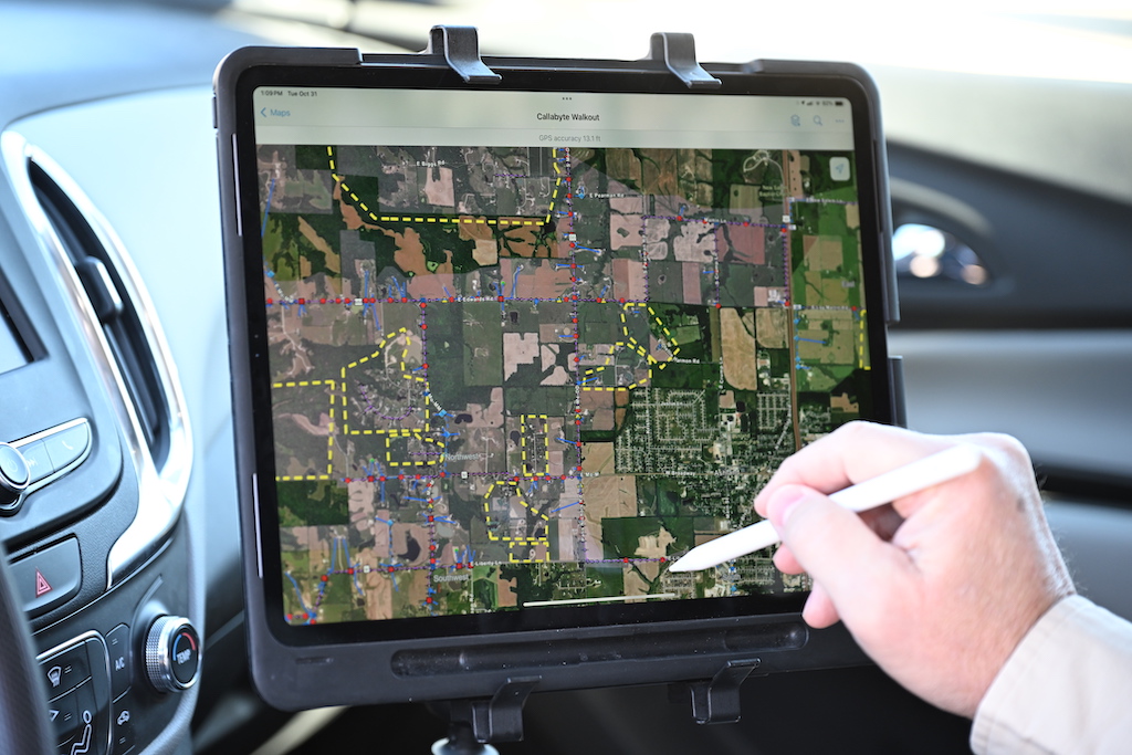
GIS mapping involves the collection, analysis, and visualization of geographic data to uncover meaningful insights. Traditional methods of mapping have evolved into sophisticated online solutions. These mobile applications allow users to access, manipulate, and share spatial information in real-time. This shift towards online GIS platforms has democratized mapping capabilities, empowering users regardless of their geographical location or technical expertise.
GIS for Utilities
GIS for utilities involves the integration of spatial data with utility infrastructure information to create comprehensive maps and asset inventories. By digitizing and georeferencing utility assets utilities gain invaluable insights into their spatial distribution and operational characteristics. Common utility assets include service points, substations, pipelines, cables, and electric utilities. This spatial intelligence and GIS data forms the foundation for informed decision-making, asset management, and maintenance planning.
Network Visualization and Analysis
GIS mapping provides utilities with powerful visualization tools to analyze their network infrastructure comprehensively. Through spatial analysis techniques utilities can identify spatial relationships, assess network performance, and optimize resource allocation to improve service reliability and efficiency.
Regulatory Compliance and Reporting
Regulatory compliance is a key consideration for utilities, with stringent requirements governing asset management, environmental protection, and public safety. GIS mapping facilitates compliance efforts. It does this by providing utility companies with tools to track regulations and generate compliance reports. It can even help companies demonstrate that they are following local, state, and federal requirements through spatial documentation.
Benefits of GIS Solutions:
- Accessibility and Convenience
GIS platforms offer unparalleled accessibility, enabling users to access mapping tools from any device with an internet connection. This convenience facilitates collaboration among team members, fostering greater efficiency in data analysis and decision-making processes.
- Real-Time Data Updates
One of the key advantages of GIS systems is the ability to incorporate real-time data updates. No matter what data you are tracking, all stakeholders will have access to the most up-to-date information. Users can leverage the most updated information to make more informed decisions, faster.
- Cost-Effectiveness
Adopting GIS eliminates the need for expensive hardware and software investments traditionally associated with GIS mapping. Cloud-based platforms offer scalable pricing models. This allows organizations to pay only for the resources they consume. In turn, this allows them to save money.
- Enhanced Collaboration
Collaboration lies at the heart of online GIS solutions. GIS platforms facilitate seamless sharing of maps, data layers, and analysis among team members. Many of these platforms include shared workspaces and commenting functionality to drive communication and collaboration. Stakeholders can work together in real-time, promoting synergy and innovation.
- Scalability and Flexibility
Online GIS platforms are highly scalable, capable of handling large volumes of data and adapting to evolving project requirements. Whether managing small-scale projects or enterprise-level initiatives, users can scale their mapping efforts effortlessly, ensuring optimal performance and flexibility.
In Summary
By leveraging the accessibility, real-time updates, cost-effectiveness, collaboration, and scalability offered by these platforms, organizations can unlock the full potential of GIS mapping.
With GIS, utilities can navigate the complexities of their networks with confidence. Your teams can leverage spatial intelligence to optimize asset management, enhance service delivery, and safeguard community well-being.
Embrace the digital transformation journey with OpSource. Are you ready to take the jump? Reach out to our team to learn more.

