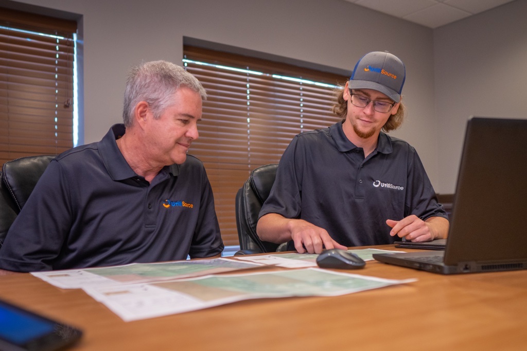
Did you know that GIS, or geographic information systems, are at work in our daily lives, in ways that touch almost every aspect of our lives? Technological advancements in the field impact our lives and the world immensely. City management, agriculture, utilities, and more, GIS mapping is critical to our infrastructure and works in the background 24 hours a day, 7 days a week. Continue reading to discover how GIS shapes our world and key places GIS is used to transform our lives.
Agriculture
GIS is important for managing farms and supports agriculture by allowing farmers to identify trends. GIS can aid in analyzing soil health, yield, plant disease, livestock, irrigation, pests, and even weather patterns. By using GIS, farmers can make more informed decisions using accurate data.
Transportation
Real-time tools, like GPS, are used in transportation planning, mapping roads, and in analyzing traffic patterns. GIS tools are essential in this industry. These tools can provide real-time data allowing for the optimization of transportation routes, reducing traffic congestion, and aiding in fleet management, roadwork, and traffic accidents.
Urban Planning
Urban planning, or city planning, greatly benefits from GIS technology. It allows city planners and other relevant stakeholders to understand their cities and what they need.
From water surveyance, to population growth, to zoning, GIS technology can be utilized to visualize projects and how they may impact the area. GIS allows city planners to analyze the needs of and understand densely populated areas with GIS data.
Natural Resources
Another sector where access to GIS data is important is in the management of natural resources. These resources include wildlife, bodies of water, and forests.
GIS data gives insight into natural disaster impact, estimate damage, and monitor trends in vulnerable areas. These maps can also track other important data such as pollution levels over time, land use, and population.
Business Intelligence
GIS tools can also help businesses strategize and make more informed decisions. Geographic data like location-based market analyses, site selection, and customer segmentation can help businesses execute strategies and make more informed decisions based on their target markets. Businesses can use GIS to drive insights and make more calculated decisions.
Public Health Management
GIS can be used to track and map disease outbreaks and allow professionals to plan for interventions and even track accessibility to healthcare. GIS can be used to effectively track disease outbreaks on both a local and international level due to its scalability.
GIS is Everywhere
GIS technology has a huge impact on our world. It allows us to better understand patterns and relationships. One of the biggest benefits of GIS is that it can be used to drive insights and improve decision making across many different industries.

