No two field projects are the same, but there are a few things that connect them. One of these connections is the need for field data collection. Another similarity is time constraints and lack of resources.
There is no getting around collecting data. However, there are a few things you can do to ensure you are gathering data efficiently and accurately. Continue reading our guide on our best practices to collecting field surveys and data.
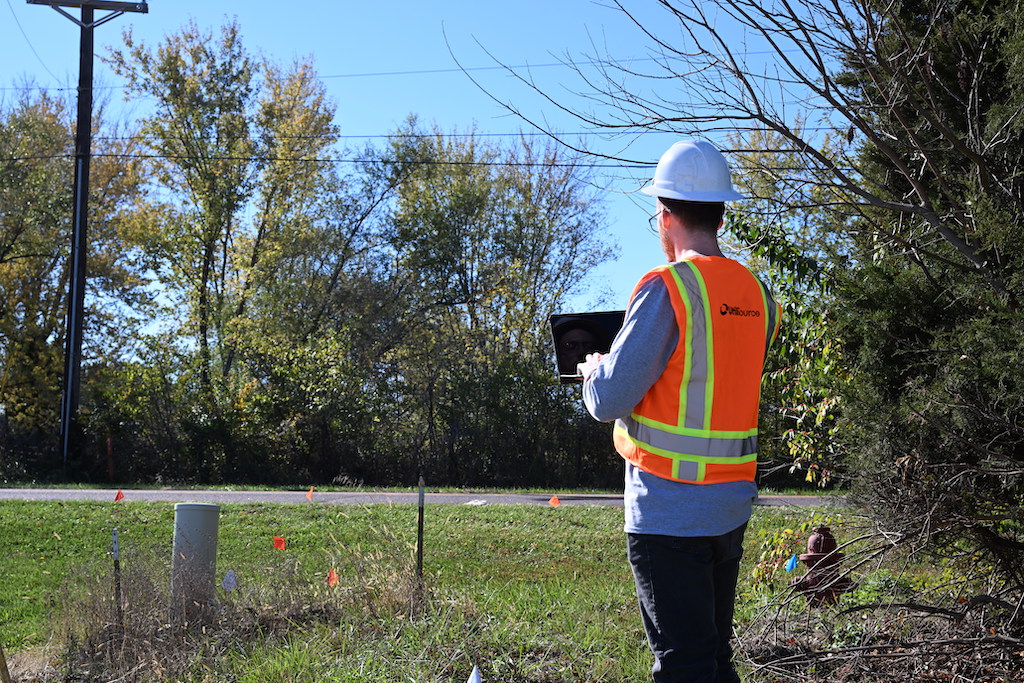
- Digital Data
One of our biggest tips for accurate and efficient field data is to collect it using a mobile data collection software and not on paper. Not only does using paper make the field data collection process much longer, but it also can lead to low quality data.
In addition, data on paper requires many manual processes that take time. Data collected on paper must be manually transferred and processed, while data collected using mobile devices automates the process of gathering field data.
Not only does using digital field data collection methods save your crews time, but it also ensures that your raw data is complete, high quality data. Digital records can be backed up and changes can easily be tracked. With paper data, you risk losing information.
Digital survey tools lead to higher quality data, more efficient collection, better insights, and more informed decision making. Our suite of software makes mobile data collection easy.
- Know Where Your Data is Being Collected
This tip heavily relates to tip one. Once you are using digital survey processes, it makes sense to also enable location tracking. Chances are, the mobile device you are using tracks location anyway, so let’s use it.
By understanding where your data is being collected, you can learn more about the context of that data in the real world and understand how it relates to the natural setting. By enabling location data to be collected as well, you can improve the accuracy of your data and improve the quality of your data.
- Visualize It on a Map
Another important tip, especially when dealing with GIS or spatial data, is to visualize it on a map. Laying out each point of information and overlaying it with your data can help you and your teams to better understand a project and plan accordingly.
By utilizing digital maps, each layer can be peeled back to reveal more insights. In essence, it allows you to better “see” everything going on in the area. In addition, these maps can be updated and adjusted in real time, whereas paper maps cannot be.
By visualizing data on a map, you can better understand the context of the project as well as the project scope. Not only does this save your team’s time in the long run, but it can also help your teams to better prioritize and organize the project.
- Standardize Your Data
By standardizing data collection techniques, you make it easy on your crews and reduce the chance of human error. Applications, such as OpSource’s software, allow for easy standardization of data with custom forms and data quality assurance.
A good starting point for more standardized data should include the following:
- Prevention of data duplication
- Prevention of typing random values/entries
- Rejection of incomplete forms
- Automatic collection of location, accuracy, and user/collector name
- Customizable permissions to only show forms or give editing access to the proper personnel
Data that is standardized has a variety of other benefits, including searchability, time savings, and more. Information should be easily accessible to those that need it, when they need it.
- Real-Time Insights
Having the most up-to-date information at all times is important. Field data collection should be happening in real time. Mobile data collection allows this to happen, with forms and information being updated as it happens.
Real-time collection allows crews to be more adaptable to changing projects. Insights can be drawn quickly, maps can be exported with all data at the click of a button. Utilizing real time data collection saves your crews time and money. With all of this being said, your data collection apps should be able to be used effectively both offline and online.
- Presentation Matter
Now that you have accurate, high quality data, you need a way to present your insights. Taking the extra effort to present your findings in a clear, concise way is important.
Data should be able to be exported using a variety of preferred formats. Common formats include Excel, PDF, map prints, and other spatial formats. You can impress with exported maps that show reports or create live dashboards that update in real time. With digital data collection, you can automatically create visually-appealing reports that get the job done.
- No Need to Overcomplicate
Our final tip is to not overcomplicate it. Data collection software should be easy to learn and integrate with your current systems and equipment.
At OpSource, we have created a set of cloud-based tools that easily integrate into your existing workflows. Our software allows you to streamline your data collection processes and drive productivity within your organization.

